
FEMA quietly posts flood maps
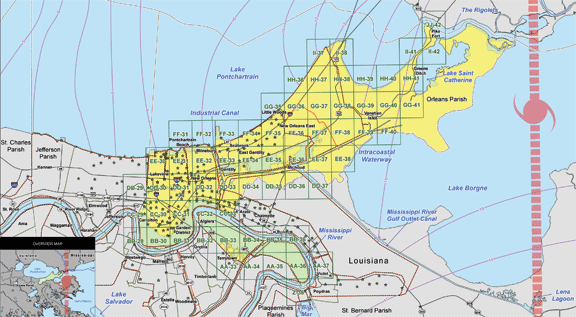
Two months after issuing a written guidance on the south shore's future elevation standards, the Federal Emergency Management Agency has released maps showing homeowners how high they would have to rebuild if governments adopt the rules. Without fanfare, FEMA posted the satellite-generated maps for Jefferson, Orleans, upper Plaquemines and St. Bernard parishes online June 14. Diana Herrera, a FEMA natural hazards program specialist, said the maps were hand-delivered to the four parishes before being posted online. FEMA planned no public notice of the new resource on its Web site.
from the Times Picayune
view the Flood Maps
posted by cbr web editor @ 12:08 PM
0 comments
![]()
![]()

0 Comments:
Post a Comment
<< Home